Real Estate Maps
Condominium Communities
|
Ke Nani Kai Map Floorplans
Ke Nani Kai is located on the West End of Molokai and has 120 units. The complex overlooks the largest white sand beach in the State of Hawaii.
|
|
|
Molokai Shores Map Floorplans
Molokai Shores are ocean front condos located just east of Kaunakakai. This is the only resort condo project located close to shopping and the central business section of the island. There are a total of 102 units.
|
|
|
Paniolo Hale Map Floorplans
Paniolo Hale is approximately 250 yards north along the coast is Make Horse Beach, one of the most beautiful sandy coves on the island. This complex consists of 77 units on 8.75 acres and the owners in this complex are proud of their lush tropical gardens.
|
|
|
Wavecrest Map Floorplans
Wavecrest is located on Molokai's East Coast and is a 13 mile drive from Kaunakakai, away from the hustle and bustle of everyday life. There are a total of 126 units-111 one bedrooms plans and 15 two bedroom plans.
|
|
|
West Molokai Map Floorplans
West Molokai Resort is located on the west end of Molokai and the complex is laid out to take advantage of the gentle trade winds. The majority of the units in the complex have ocean views.
|
|
Towns and Villages
Google Maps
Hoolehua Molokai Hawaii
View Larger Map
|
Hoolehua is located in the northern part of Molokai, off of Highway 460, near the Molokai airport. Its elevation is 620 feet (189 m) above sea level. In the past, the community’s name was spelled in different ways, so in 2003, the Board on Geographic Names finally designated it Ho‘olehua.
|
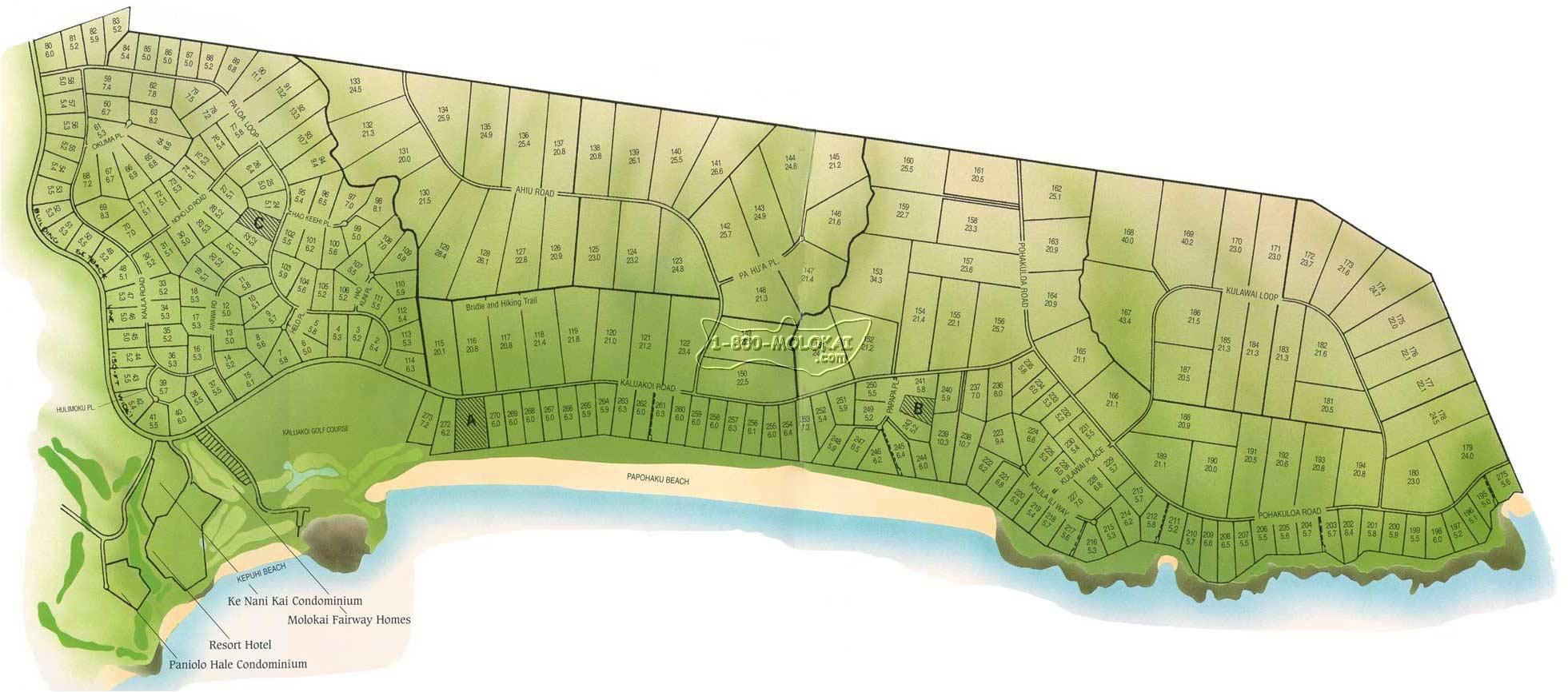
Kaluakoi Molokai Hawaii
View Larger Map
|
Kaluakoi is the location of three of Molokai's condominium communities, the longest white sand beach in Hawaii and one of the best places to watch whales of all the islands. This area is also used for surfering compititions, swimming events and other water sporting events.
|
Kaunakakai Molokai, Hawaii
View Larger Map
|
Kualapuu is located in the northern part of Molokai near Kalaupapa. The population was 1,936 according to the 2000 census. In the Hawaiian language, Kualapuu literally means “hill overturned.” However, it is thought to be a corruption of Pu‘u‘uala, meaning “sweet potato hill.” The settlement is a former pineapple cannery village that was once associated with Del Monte Foods.
|
Maunaloa Molokai, Hawaii
View Larger Map
|
Maunaloa is located on the western side of Molokai and benefits from the blowing trade winds for the west end of the island. But even though it's a small village, Maunaloa is home to people from diverse ethnicity backgrounds.
|
Kalaupapa Molokai, Hawaii
View Larger Map
|
The historic settlement of Kalaupapa is located on the isolated Kalaupapa Peninsula on Molokai’s north shore, at the base of the world’s highest sea cliffs, which reach about 3,315 feet (1,010 m) into the sky. Kalaupapa is one of the most remote and inaccessible locations on Molokai. It is surrounded on three sides by high sea cliffs (the tallest in the world) and fronted by the ocean. No road leads here. The only way to get to the village is with a small propeller airplane or on foot.
|
Papohaku Ranchlands Molokai, Hawaii

|
|
|
|